On this page you will find links to all the walks that Jeff and his team have experienced and catalogued. Select a county from the menu and a drop down menu will let you select one of the walks from that county.
Individual Walks
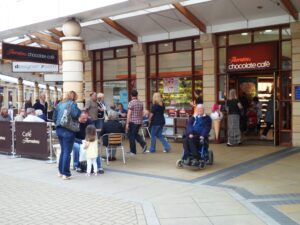
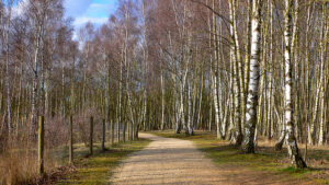
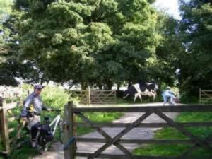
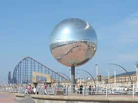
Each link will take you to a favourite walk of Jeff and Audrey. The pdf file will give all the details required to locate the walk and also give a description of the facilities on site, e.g. cafe, toilets etc
There will also be a gallery of photographs from the location and where possible, a link to a video. Sometimes there are no videos available but where they do exist, they provide a better feel for the paths and facilities and are worth watching. Most are not provided by us but are links to Youtube. If a link is broken please let us know via the contact form.
Above are the areas in which our walks are based. Please select the county in which you are interested and then the area within the county from the drop down menus.